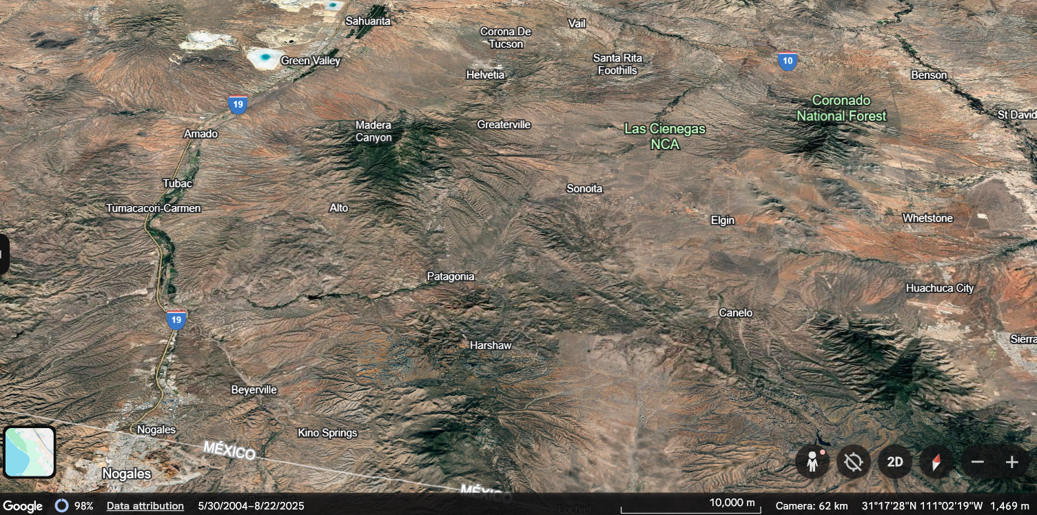
The ride from Patagonia to Nogales via Highway 82 is a masterclass in Arizona’s volcanic past. While the first leg of your journey from Greaterville was about open vistas, this section is an immersive crawl through a geological “mixing bowl,” where ancient lavas, silver-rich ores, and jagged canyon walls dictate every turn of the handlebars.
1. The Riparian Canyon Entrance
As you push south from Patagonia, the road is immediately gripped by the Sonoita Creek Canyon. To your left, the Patagonia Mountains rise as a massive block of Jurassic-age granite and quartz monzonite—the same mineral-rich heart that fueled the region’s historic silver and lead mines. The air here is noticeably cooler and “heavier,” filtered by the dense canopy of Fremont cottonwoods and sycamores that thrive in the creek’s perennial subflow. The bike echoes through this narrow corridor, where the rock walls feel close enough to touch, vibrating with the ghost-hum of the old New Mexico and Arizona Railroad that once shared this tight passage.
2. The Crimson Rise of Red Mountain
Dominating your southern view as you exit the tightest curves is the striking profile of Red Mountain. This isn’t just a hill; it’s a massive pile of Paleocene rhyolite and trachyandesite. Unlike the duller grays of the surrounding ranges, this peak glows in shades of burnt orange, pink, and deep vermillion—colors born from oxidized iron in the volcanic ash. As you ride past its base, the geology feels visceral; you are skirting the edge of an ancient volcanic center that erupted over 60 million years ago, its jagged cliff bands standing like a fortress over the road.
3. The Tertiary “Mixing Bowl”
Midway through the ride, the terrain becomes a “scrambled” landscape of Tertiary volcanics. Here, the road cuts through layers of lapilli tuff and volcanic breccia—essentially the debris of ancient eruptions frozen in time. You’ll notice the road-cuts shifting from grayish-white ash to purple-tinted lavas. For a motorcyclist, this means a constant change in the road’s personality. One moment you are carving through a “graben” (a sunken block of earth) where the road levels out, and the next you are climbing a “horst” (an uplifted ridge) that offers a brief, panoramic flash of the blue Atascosa Mountains to the west.
4. The Rolling Nogales Formation
As the mountains begin to soften into the outskirts of Nogales, you enter the Nogales Formation. This is a landscape of “basin-fill”—thousands of feet of volcaniclastic sandstone and conglomerate. The road begins to swell in long, rhythmic undulations rather than sharp turns. Look at the hillsides; they are composed of billions of water-worn stones and volcanic pebbles cemented together, the literal runoff of the mountains you just passed. The color palette shifts to a dusty tan and ochre, signaling that the mountain’s volcanic grip is finally loosening into the broader Santa Cruz River valley.
5. The Final Descent to the Basin
The ride concludes with a long, sweeping descent into the Rio Rico and Nogales basin. To the west, the San Cayetano Peak stands as a solitary, dacite sentinel, a reminder of the violent tectonic forces that pulled this landscape apart 15 million years ago to create the Basin and Range province. As the urban hum of the border city begins to rise, the smell of wild mesquite and dry stone remains on your gear—a lingering souvenir of a ride that traveled through millions of years of earth-shattering history in just under twenty miles.